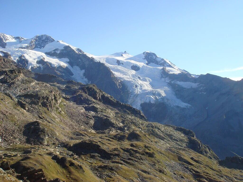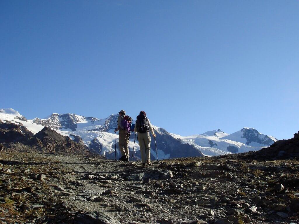
The TMR (Tour Monte Rosa) is the beautiful route through the villages around Monte Rosa, between Switzerland and Italy, with a circular path.
DOWNLOAD THE MAPThe (TMR ) Tour Monte Rosa is ideally divided into 9 stages starting and finishing in Zermatt. But it can be covered with start and end in any of the villages involved in the tour, choosing the number of stages and direction of travel.
The stages: Zermatt - Theodul pass; Theodul pass - St Jacques; St Jacques - Gressoney; Gressoney - Alagna; Alagna - Macugnaga; Macugnaga - Saas Fee; Saas Fee - Grächen; Grächen - Europahütte; Europahütte - Zermatt
Departure: Zermatt 1616m
Arrival: Colle del Teodulo 3317m
Trekking time: 5,30 h
Reverse path: 4h
Departure: Theodul pass 3317m
Arrival: St. Jacques 1689m
Trekking time: 6h
Reverse path: 7h
Departure: St. Jacques 1689m
Arrival: Gressoney 1637m
Trekking time: 4,30h
Reverse path: 4,30h
Departure: Gressoney 1637m
Arrival: Alagna 1191m
Trekking time: 7h
Reverse path: 8h
Departure: Alagna 1191m
Arrival: Macugnaga 1327m
Trekking time: 8h
Reverse path: 8h
Departure: Macugnaga 1.327m
Arrival: Saas Fee 1772m
Trekking time: 7h
Reverse path: 6,30h
Departure: Saas Fee 1772m
Arrival: Grächen 1619m
Trekking time: 6,30h
Reverse path: 7h
Departure: Grächen 1619m
Arrival: Europahütte 2220m
Trekking time: 6,30h
Reverse path: 5,30h
Departure: Europahütte 2220m
Arrival: Zermatt 1616m
Trekking time: 6h
Reverse path: 6,30h
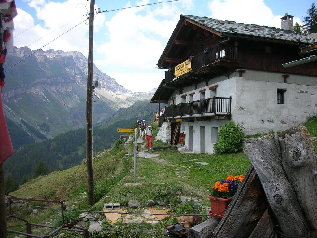
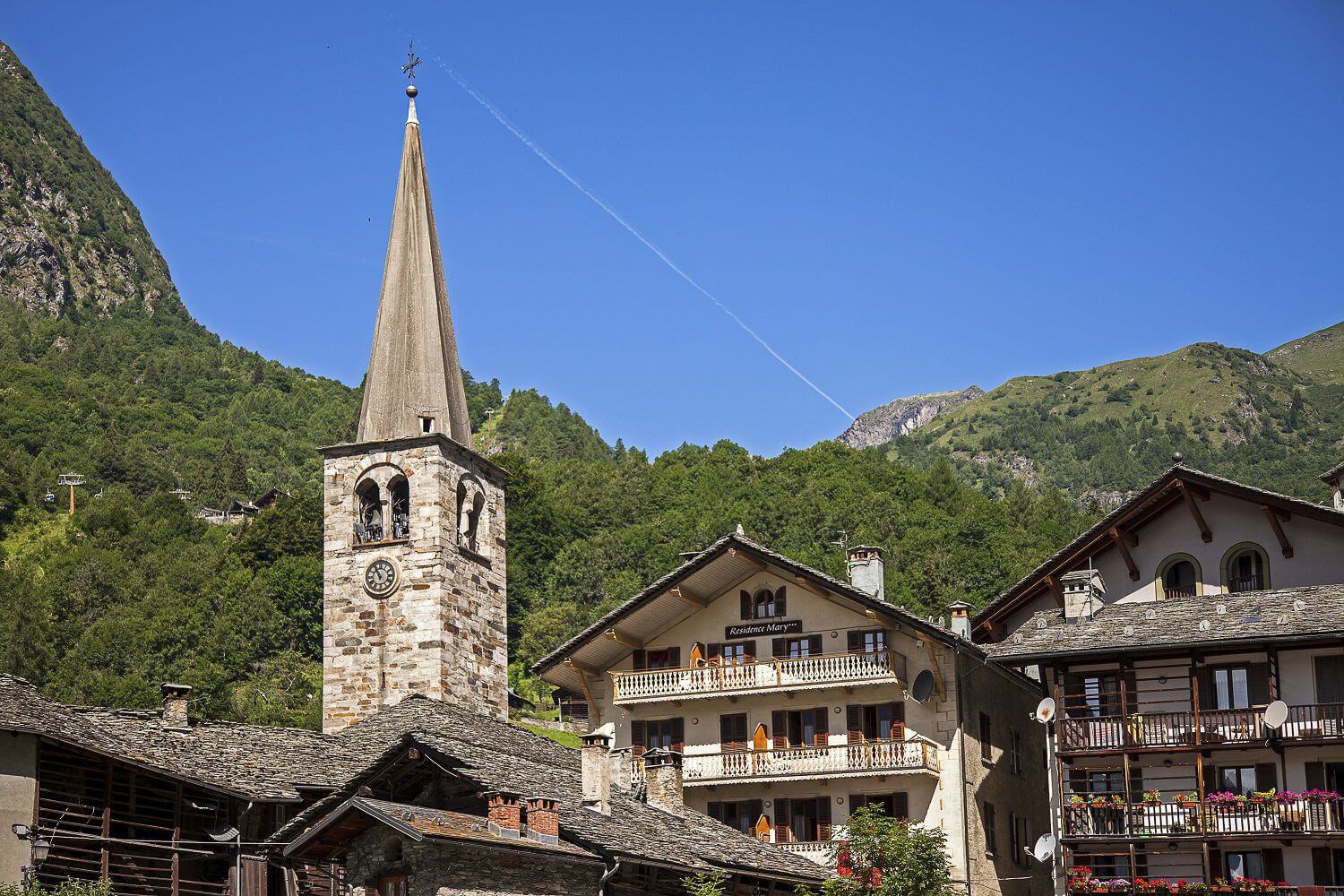
Gressoney / Gabiet - Alagna
This is one of the longest legs in the trip, but can be shortened using the facilities of the Monterosa ski.
The bronze ibex that overlooks the Gressoney valley from the Camoscio pass, which marks the border between Valle d'Aosta and Valseisa, is without a doubt the objective of the climb from Gressoney, where the vastness of the valley is dotted with numerous Walser pastures crowned by the open, airy spaces of the Gabiet area. Once through the pass, you descend towards Alagna, along a well-marked path in a wide moraine area. After about 30 minutes of descent, you reach the Mosso Institute, a center specializing in research at high altitude of the University of Turin and a bit 'further down the valley is the refuge Vigevano, now closed.
The descent into the valley of Olen runs along Devil's Stone (Sasso del Diavolo), a huge boulder split in two that according to legend, was used by the Devil to prevent the construction of a chapel in Gressoney. But the love of God prevented the crime and the enraged devil threw the boulder towards Alagna and while rolling and bouncing downhill imprisoned the devil inside, where it seems to have remained to this day. Just past the Devil's Stone is the turn off to Foric pass which is chosen by hikers who want to reach Alagna via the beautiful Val d'Otro. For those travelers who pass via Otro, the stop-over is the Tsar Senni refuge in Follu or Alagna with about an hour's walk more. For travelers who decide to hike down to Alagna along the valley of Olen, Alpe Pianalunga can be reached with a 40-minute walk from the path turn-off, where there is a cable car to reach the center of Alagna and 15 minutes downstream is the Grande Halte refuge, another possible stopover point. In another hour and a half you can reach Alagna (see list of hotels and B & B in the accommodation section) or you can continue to Pastore refuge which is the base camp for the next stage. On foot it is about an hour and a half, but in the summer there is a shuttle stop until 5pm (info at + 39 0163 922988). The trip can also be done by taxi at a cost of around € 20 and then a 10 minute walk to reach the refuge that has the most beautiful view of the south face of Mount Rosa
Alagna – Macugnaga
This leg is covered by beautiful paved trails built by the Intra battalion in the 20’s and reaches up to the 2,738 meters of the Turlo -ds Türli pass (the small door – pass), which was used by the Walser of Macugnaga populations to give life to the new colony of Alagna around 1200. The view is wonderful and the ascents are regular and continuous: first forests of deciduous and coniferous trees and on the other side of the vegetation are the Alps and Faller Fum Blatte, which is studded with gentianellas in spring
From the pass you descend into the valley Anzasca and the trail runs through evocative woods and picturesque waterfalls; occasionally you meet ravines and picturesque wooden bridges and also the most exposed sections seem harmless and easy due to a wide, well-maintained trail. Before reaching Quarazza you find the Lake of the Fairies, a small artificial lake that is worth a visit.
From here you can reach Macugnaga in 30 minutes This is a nice Walser village, well organized with many hotels to stay in after this long hike.